Flight 6: Norwood, MA – Butler, PA

Given perfect weather, we could make the trip in 2 days if we pushed it. Many aircraft accidents are the result of pilots trying to reach a destination under a tight time constraint. We didn’t want to be victims of “get-home-itis”. We left on a Wednesday in order to give ourselves plenty of time to get home before work started on the following Monday. Plus if we got home early it would be nice to have a few days to catch up on things around home before the next week started.
As we were getting ready to leave Norwood, there was a crew of 2 charter pilots preparing to depart in a Pilatus PC-12. Drew and Steve were really nice and down to earth. Phil’s dream plane is the Pilatus PC-12. If we ever hit the lottery, I already know what our first purchase will be. Drew had recently ferried a Mooney Bravo across the country, and he said the Mooney is much more fun to fly than the PC-12, “The Pilatus is nice, but it flies like a truck.” Steve grew up in Washington State, so he was familiar with the Boise area, and fondly remembered flying out west. So both crews were thinking the grass was greener on the other side. Our 1977 Mooney was waiting to give us a ride back home. As my airplane partner Brad said after getting back in the Mooney following a demonstration flight in a Cirrus SR22, “The Mooney fits like a comfortable old pair of shoes.” I adore the Mooney. It really is a great plane and we were both looking forward to getting back in our plane after several days away from flying.
Our original plan was to tour the Hudson River through New York City on our way home. I filed an IFR flight plan that would take us south along the Hudson River, which would give us a great view of downtown Manhattan and the Statue of Liberty. Unfortunately when I checked the weather before departing Norwood, the ceilings in the New York City area were around 500 feet — too low to let us see much of the city. I kept the original flight plan in place in the hopes that the weather would clear up by the time we reached New York. The remarks section of the flight plan told ATC we wanted to do the Hudson River Tour if it was possible. Again we were cleared as filed on the ground, but after just 30 minutes of flying towards New York it became clear that the clouds would not permit a Hudson River Tour today. Oh well … I guess we’ll just have to try that tour next time we are in the area.
When ATC called to let us know the Hudson River Tour couldn’t happen, the controller was nice enough to offer us two different routing choices. After checking our charts we opted for “Bradley direct Pawling V106 Selinsgrove direct Butler.”
The flight from Norwood to Butler was mostly calm with scattered clouds. Butler is a nice airport with easy access to self-service fuel. We filled the tanks and taxied to park in front of the terminal which also housed the Runway Restaurant on the second floor. The full wall of windows provided an excellent view of the steady pace of flight traffic while we enjoyed a nice lunch.
Flight 7: Butler, PA – Moline, IL
After lunch, we went downstairs to check the weather. Most airports have a weather room where pilots can get the latest weather, spread out maps and file flight plans. Almost all of these weather rooms have a computer where you can view graphical and textual weather reports. The weather computer in Butler was different than any I had seen before. It was called WeatherMation and had a great interface. You could enter your planned route, and the station would show it on a nice map. Then you could overlay different images over the map: radar, satellite, fronts, surface conditions, winds, etc. Every other computer station I’ve seen gives access to the same charts, however each one is one is a separate image. Being able to overlay all the images together along with a graphical depiction of the route made a big difference.
We picked up our IFR clearance to Moline, and were on top of the clouds for most of the trip. Just after we took off from Butler, ATC called with our departure instructions “fly heading 330, climb and maintain 3,000, Pittsburgh altimeter 30.33”. Phil grinned at me as he smoothly read back the clearance. If those threes were sevens, I’m sure he would have asked for a reroute to Vegas. Going west we expected to get some headwinds, but we actually had a slight tailwind for this flight. As we neared Moline (located right on the Mississippi River) we started to enter the clouds and were given vectors to the airport. We descended below the cloud bases about 5 miles from the airport and the visibility was great below the bases, so we flew a visual approach.
Elliott Aviation booked a hotel room for us, and the shuttle van was waiting for us right after we got the plane unloaded. We enjoyed a good dinner and rested up after a long day of flying. We wanted to get an early start the next day to avoid the afternoon turbulence and thunderstorms that are common in the west during the summer months.
Flight 8: Moline, IL – Ainsworth, NE

We left Moline around 8am and had a pretty uneventful flight to Ainsworth in northern Nebraska. We refueled the plane and ourselves there. Although a courtesy car was available for us to borrow to grab lunch, we decided to eat the food we brought so we could get moving towards Idaho before the afternoon thunderstorms started to brew.
The Nebraska Department of Roads was doing some kind of testing for their drivers in a portion of the free space at the airport. There were all kinds of big construction trucks maneuvering through courses set up with orange cones. The airport was pretty quiet, and some of the workers came over to chat for a while. It’s really great to just stop in to a spot you picked on a map and meet extremely nice people.
Flight 9: Ainsworth, NE – Driggs, ID
For this flight, I decided to file a VFR flight plan (instead of IFR). Crossing the Rockies IFR involved flying at 15,000 feet, which the Mooney can do but would subject us to pretty strong headwinds up there. Going VFR we could safely cross the Rockies at a much lower altitude (around 12,000 feet) and have a more direct route.
During the descriptions of previous flights I mentioned how I got consistently good weather briefings from the FAA Flight Service Specialists. When I called the Columbus Flight Service Station for a briefing for this leg, I got the worst briefing ever. I don’t mean the weather was bad (it was great), I mean the briefer clearly didn’t like his job and I had to pry the information I needed out of him. I’ll just assume he was having a bad day. Later when we tried to open our flight plan, they had no record of it. That means the briefer I spoke to didn’t file the flight plan properly.
As we passed Casper, WY we could see that the clouds were building over the Tetons. Although we were VFR, we were already getting flight following from ATC. Phil requested a “pop-up” IFR clearance when he saw there was no way to stay VFR below the clouds and above the upcoming terrain.
The controller gave us our IFR clearance right away. We had to climb to 15,000 feet, but the headwinds were almost non existant. We could see the clouds, that would become a thunderstorm, were starting to form but they hadn’t yet started to produce rain (the mature stage of a thunderstorm). At this point, we were 30 minutes from Driggs (located just on the west side of the Tetons). The clouds were darkening on the east side of the Tetons, but we could see that the west side of the Tetons was still sunny.
We flew across the Tetons at 15,000 feet and enjoyed some really nice views as we went by, despite the darkening clouds above us. I expected us to get bumped around pretty good by turbulence so we tightened our seat belts in anticipation of some jostling. The ride was actually quite smooth. Just after crossing the Tetons, we saw the Driggs airport right below us.
I reported the airport in sight, and cancelled IFR then began a visual descent for Driggs. By this point we were in clear skies, and almost right over the airport with 9,000 feet of altitude to lose before we could land. I spiraled down keeping our rate of descent low so that our ears wouldn’t get plugged up. The folks at Driggs helped us get parked, set us up with a hotel room and gave us a ride.
The weather was clear on this side of the Tetons, and we probably could have flown the remaining 1.5 hours to get home from Driggs. Both of us were tired, and we decided it was better to just rest up and fly home the next morning. We enjoyed a great dinner and breakfast the next day right at the airport’s Warbirds Cafe. The restaurant there isn’t the typical greasy spoon. They have a gourmet chef and several great dishes on the menu.
Flight 10: Driggs, ID – Nampa, ID
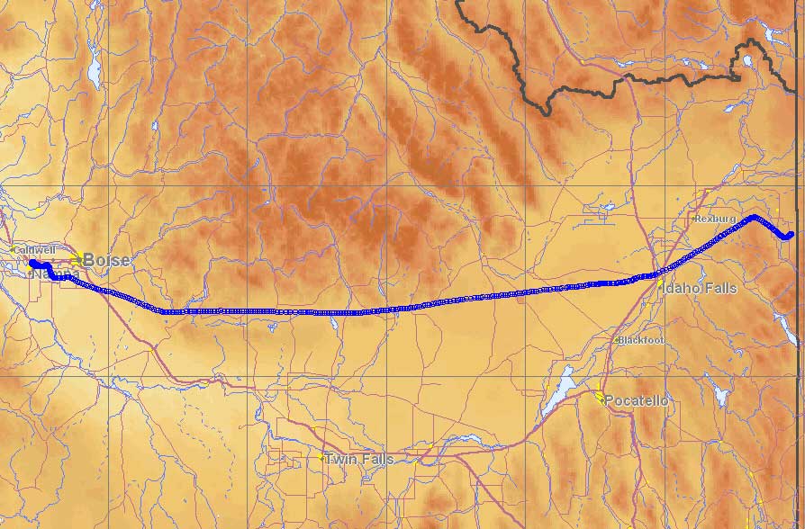
The weather for the last flight of the trip was perfect. Again we had a little tailwind going west. It was nice flying over the familiar terrain of Idaho. The 1.5 hour flight went by in no time. Before we knew it, we were in the airport traffic pattern in Nampa. We landed around lunchtime on Friday, which gave us plenty of time to enjoy the rest of the weekend at home.
It was nice to come home, but we were both a little sad to leave the plane. That surprised both of us, since we assumed after 30 hours cooped up in a little airplane we’d be ready to take a break from flying. That wasn’t the case at all. We will both miss flying so frequently, and I’ll actually miss flying through the clouds. We’re looking forward to our next trip. There are still plenty of empty spots on our trip map to be filled in.